MAP · MAP
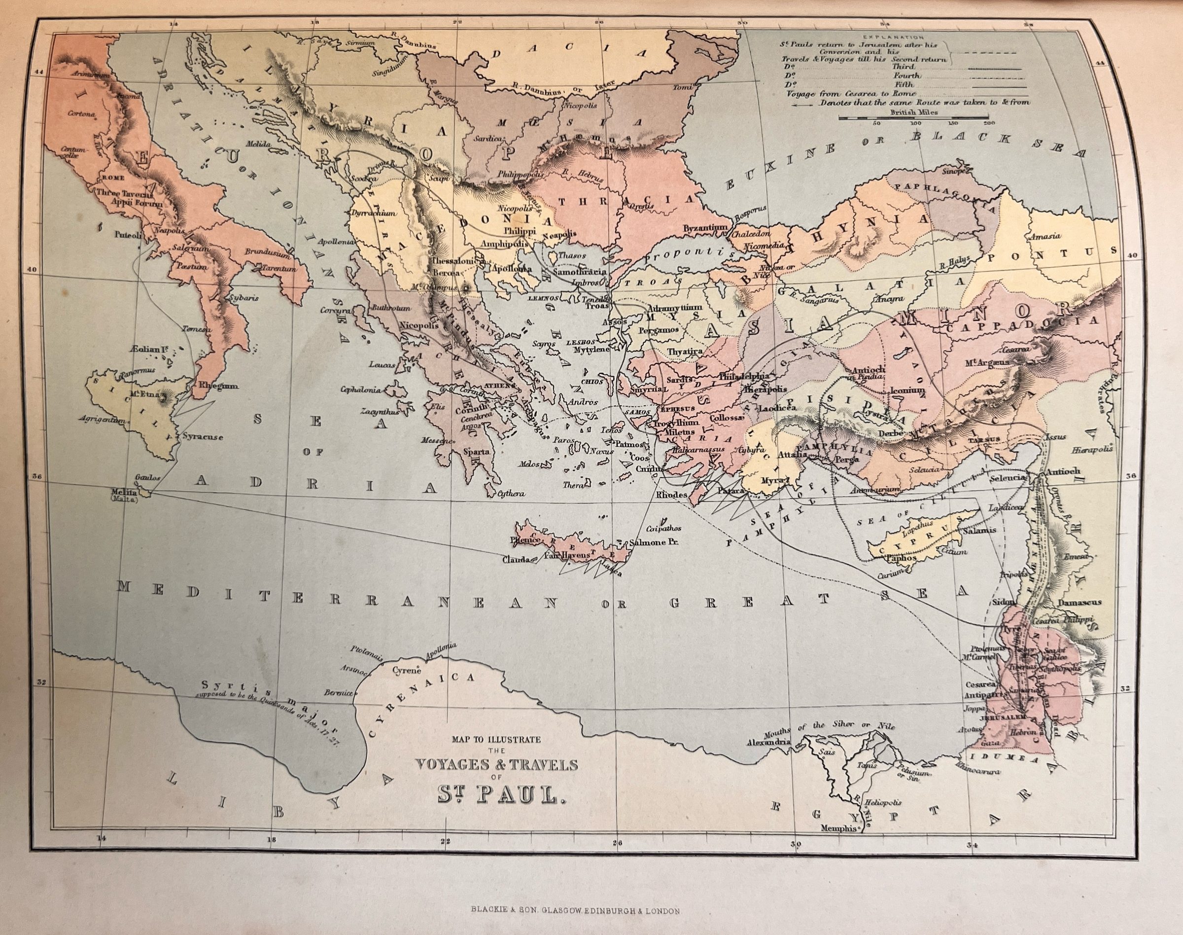
Map to Illustrate the Voyages & Travels of St Paul
Paul’s journeys traced across the Mediterranean, from Jerusalem and Antioch to Rome, with an explanation of each route.
 View full size
The plate is reproduced from a photograph of a surviving copy. The image has been rotated, straightened and cropped to the plate, but the engraving itself is not retouched.
- Printed title
- Map to Illustrate the Voyages & Travels of St Paul
- Place today
- Eastern Mediterranean
- Source of credits
- Credit lines printed on the plate
- From
- The Comprehensive Family Bible, Blackie and Son
CLEANED PHOTOGRAPH
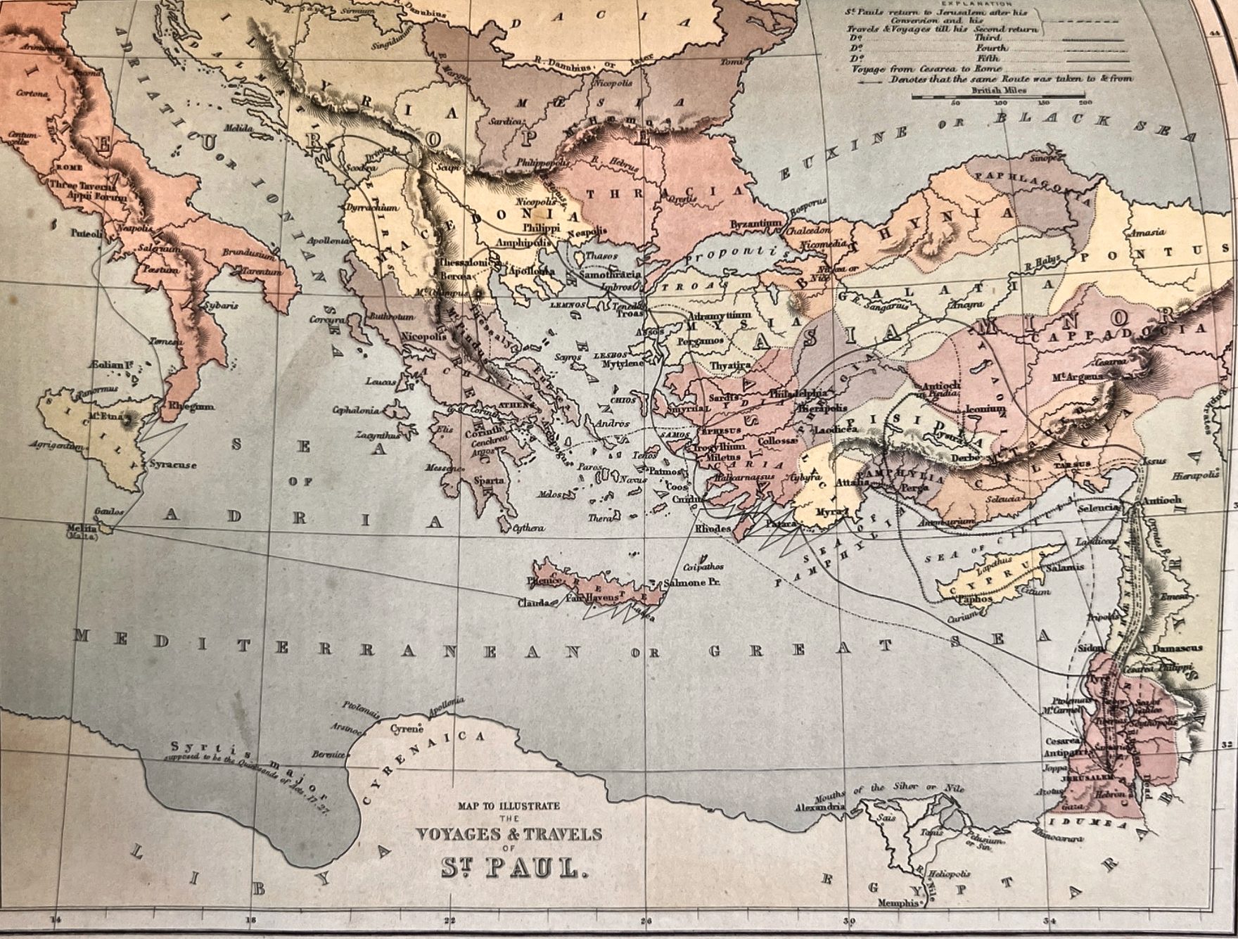
The same map,
easier to read.
A digitally cleaned photograph of the same map, straightened and evened out for reading. The lines, names and colours are the original map’s; nothing has been redrawn.
 View full size